Mapping the Human Footprint Across the Boreal
Date: October 10, 2017
Presenter: Marcus Geist, Alaska Center for Conservation Science
Presenter: Marcus Geist, Alaska Center for Conservation Science
Summary:
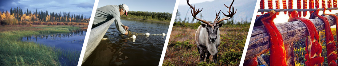
The Alaska Center for Conservation Science (ACCS) at the University of Alaska Anchorage, in partnership with the Northwest Boreal Landscape Conservation Cooperative (NWB LCC), embarked on a project to map and quantify the human footprint across interior Alaska and northwestern Canada.
The goal was to build a seamless dataset that spanned international boundaries by stitching source information from state, provincial and territorial entities in order to represent landscape intactness in the boreal ecosystem. This dataset, which focuses primarily on historical mining, oil and gas, and transportation infrastructure, could help inform decisions regarding natural resource monitoring, identifying potential mitigation/restoration sites, and for conservation planning at watershed scales.