LiDAR Elevation Data Collection on the YK Delta
Date: August 8, 2017
Presenter: Mike Meiser, Woolpert's Government Solutions Market
Presenter: Mike Meiser, Woolpert's Government Solutions Market
Summary:
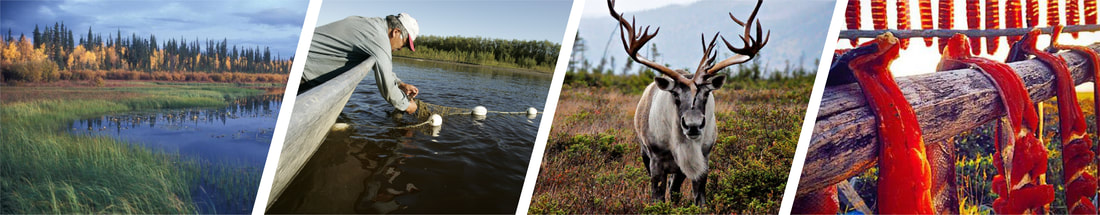
New elevation data for 1600 square miles of the Yukon-Kuskowkim Delta will be available soon. Using LiDAR—Light Detection and Ranging technology to create the high resolution data, Woolpert in collaboration with USGS’s 3DEP program developed datasets that government agencies, communities and others can use to support research, mitigation, and resilience activities to address issues such as coastal inundation.
New elevation data for 1600 square miles of the Yukon-Kuskowkim Delta will be available soon. Using LiDAR—Light Detection and Ranging technology to create the high resolution data, Woolpert in collaboration with USGS’s 3DEP program developed datasets that government agencies, communities and others can use to support research, mitigation, and resilience activities to address issues such as coastal inundation.