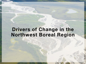
Land Use Planning Projects
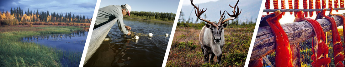
MISSING - Enhancing Indigenous-Led Community-Based Monitoring
|
Through partnership with the Boreal Ecosystems Analysis for Conservation Networks, NWBLCC implemented a new approach to conservation planning.
|
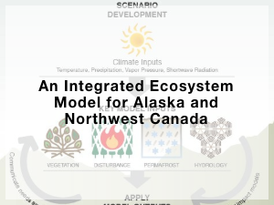
The Integrated Ecosystem Model is designed to help resource managers understand the nature and expected rate of landscape change.
|
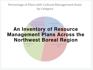
This review summarized and synthesized 120 management plan goals within the northwest boreal geography to enable comparison across plans.
|
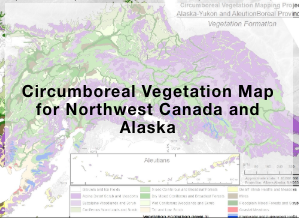
The circumboreal vegetation mapping project portrays potential natural vegetation that would exist in the absence of human or natural disturbance throughout the Alaska-Yukon region.
|

To inform management for a resilient and functioning landscape, this coordinated monitoring system set minimum standards to allow cooperators to combine monitoring data to make landscape scale inferences.
|
This book synthesizes the latest research on boreal ecosystems to provide a resource for land and resource managers as these ecosystems continually change and shift.
|
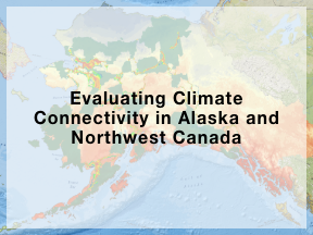
This research models patterns of climate connectivity to map linkages among protected areas that promote climate change resilience.
|
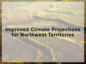
This project gathered detailed PRISM data across the Northwest Territories to help scientists improve climate projections.
|
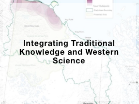
This process provides an important example for how other scientists and managers can work with native communities effectively synthesizing traditional knowledge and western science data.
|
This project created the Northwest Boreal Science and Management Research Tool (SMMRT) that catalogues articles, reports, land management plans, and datasets into a user-friendly database.
|
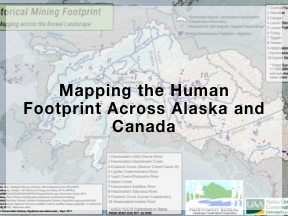
This project built a seamless dataset that spanned state, provincial and territorial boundaries to represent an initial look at intactness in the boreal ecosystems of western Canada and Alaska.
|
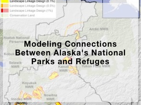
This study identified potential landscape linkages to provide a proactive land use planning tool amid scenarios of change and development.
|
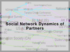
This study created a Conservation Social Network to be used to leverage partner expertise and better facilitate collaboration.
|